
Ocean Planner
Ocean Planner is a global, web-based decision-support platform designed to assess underwater noise and maritime traffic impacts, and to develop forward-looking management and mitigation scenarios.
Structured around three core modules : shipping, collision risk, and continuous noise, the platform enables users to analyse vessel traffic patterns, associated underwater noise emissions, and potential interaction risks with marine life at local, regional, or global scales.
Through scenario-based modelling tools, users can simulate and compare measures such as speed limits, exclusion zones, restricted access areas, shipping trends, or SmartPAM monitoring zones before implementation. This allows stakeholders to assess trade-offs, anticipate impacts, and support evidence-based marine spatial planning.
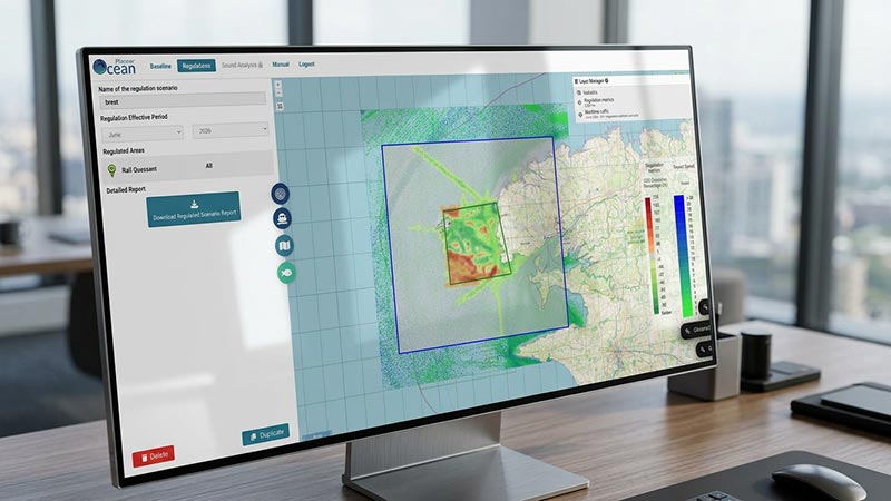
Ocean Planner is designed as a tool for informed decision-making and constructive dialogue between industrial stakeholders and environmental organizations.
- For industry, the platform evaluates operational impacts of management measures, including potential gains or losses in transit time (and fuel consumption).
- For NGOs and environmental stakeholders, it quantifies underwater noise emissions, collision risks, and CO₂ emissions associated with different traffic scenarios.
Accessible 24/7 via a continuously updated online interface with global coverage, Ocean Planner provides a transparent, data-driven framework to support ecosystem-based and operationally realistic marine management decisions.
We also provides expert support for platform use, results interpretation, and integration into broader environmental and regulatory strategies.